
#KE_91882882
#KE_2727774
#KE_9277829

Complex data collecting,made easy.
High quality & reliable data, through a global network of collectors, using standardised techniques and AI processing.


Anybody can take a photo
By standardising the data collecting process, using simple smartphone photos, we reduce the task complexity to a level where anybody can contribute. No more training of collectors!
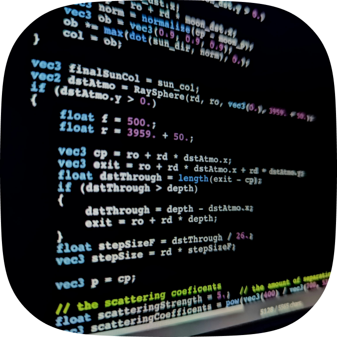

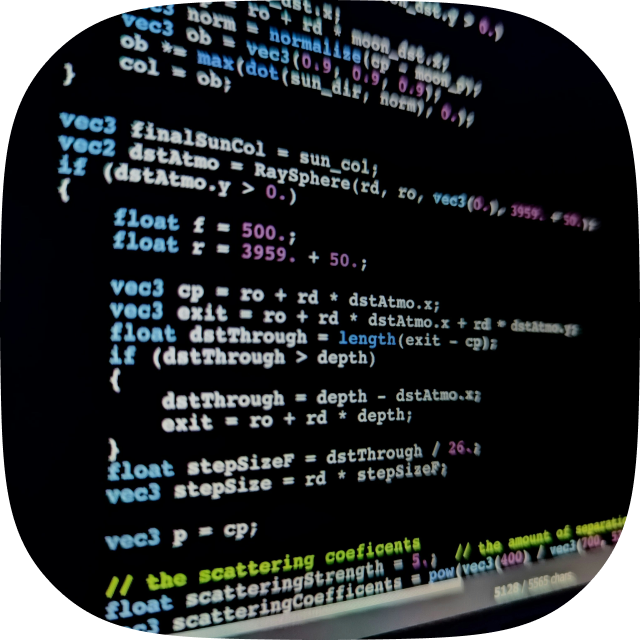
AI processed, open for builders.
Using expert Artificial Intelligence models, photos get processed looking for specific information they contain. All the processed information is gathered in customer specific datasets.
The network is open for third party developers to build AI expert models aligned with their customer’s needs.
KLIQ makes
Ground-Truth Data
Fast, Available & Trusted
KLIQ's global community captures geo-tagged photos, an AI expert model turns them into ready-to-use field datasets, and blockchain safeguards every data point.


Fast
Get direct access to our contributors with instant cross-border payouts.

Available
Highest quality through standardised data collecting techniques.

Trustless
Integrity and transparency through our audited blockchain verification process.


#265482


#312482


#54281

#62859


PROJECT
KQ_837882
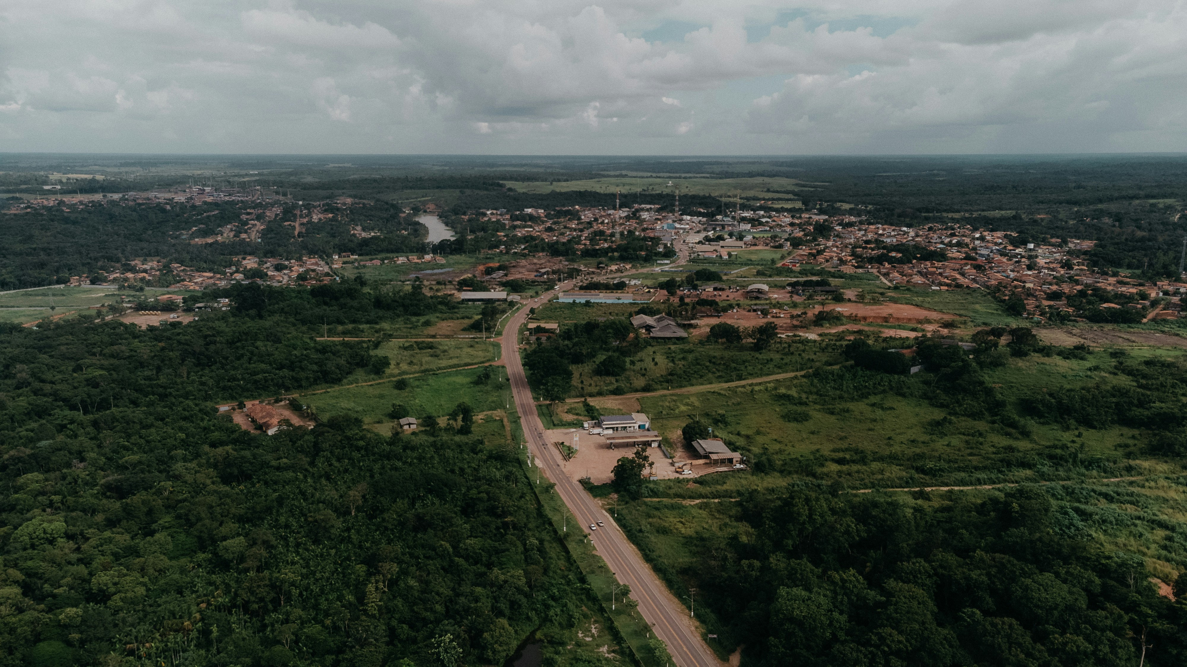
LOCATION
NIGERIA

#277882
Where KLIQ makes the difference
Read how KLiQ powers breakthrough insights and strengthens every stage of data collecting.

Consumer Brands
Get grip on your brand’s retail representation though geolocated anonymous field surveys.


Healthcare &Pharma
Monitor medicine availability and conditions globally with verified field photos.


Cities &Governments
Track waste and infrastructure with on-the-ground insights.

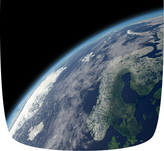
Earth Observation
Feed satellites with ground-truth data to improve AI model accuracy.


Validate your data
with KLIQ ™
Unlock faster, standardised data collecting for trusted insights. Start your KLiQ-powered validation today.
#KE_91882882
#KE_2727774
#KE_9277829
Complex data collecting,made easy.
High quality & reliable data, through a global network of collectors, using standardised techniques and AI processing.
Anybody can take a photo
By standardising the data collecting process, using simple smartphone photos, we reduce the task complexity to a level where anybody can contribute. No more training of collectors!


AI processed, open for builders.
Using expert Artificial Intelligence models, photos get processed looking for specific information they contain. All the processed information is gathered in customer specific datasets.
The network is open for third party developers to build AI expert models aligned with their customer’s needs.
Revolutionising field surveys.
Less complexity - Higher quality.
KLIQ's global community captures geo-tagged photos, an AI expert model turns them into ready-to-use field datasets, and blockchain safeguards every data point.


Fast
Get direct access to our contributors with instant cross-border payouts.

Available
Highest quality through standardised data collecting techniques.

Trustless
Integrity and transparency through our audited blockchain verification process.
#265482
#312482
#54281
#62859

PROJECT
KQ_837882
LOCATION
NIGERIA
#277882
Where KLIQ makes the difference
Read how KLiQ powers breakthrough insights and strengthens every stage of data collecting.

Consumer Brands
Get grip on your brand’s retail representation though geolocated anonymous field surveys.


Healthcare &Pharma
Monitor medicine availability and conditions globally with verified field photos.


Cities &Governments
Track waste and infrastructure with on-the-ground insights.

Earth Observation
Feed satellites with ground-truth data to improve AI model accuracy.


Validate your data
with KLIQ ™
Unlock faster, standardised data collecting for trusted insights. Start your KLiQ-powered validation today.
#KE_91882882
#KE_2727774
#KE_9277829
Complex data collecting,made easy.
High quality & reliable data, through a global network of collectors, using standardised techniques and AI processing.
Anybody can take a photo
By standardising the data collecting process, using simple smartphone photos, we reduce the task complexity to a level where anybody can contribute. No more training of collectors!


AI processed, open for builders.
Using expert Artificial Intelligence models, photos get processed looking for specific information they contain. All the processed information is gathered in customer specific datasets.
The network is open for third party developers to build AI expert models aligned with their customer’s needs.
Revolutionising field surveys.
Less complexity - Higher quality.
KLIQ's global community captures geo-tagged photos, an AI expert model turns them into ready-to-use field datasets, and blockchain safeguards every data point.


Fast
Get direct access to our contributors with instant cross-border payouts.

Available
Highest quality through standardised data collecting techniques.

Trustless
Integrity and transparency through our audited blockchain verification process.
#265482
#312482
#54281
#62859
PROJECT
KQ_837882
LOCATION
NIGERIA
#277882
Where KLIQ makes the difference
Read how KLiQ powers breakthrough insights and strengthens every stage of data collecting.
Consumer Brands
Get grip on your brand’s retail representation though geolocated anonymous field surveys.
Healthcare &Pharma
Monitor medicine availability and conditions globally with verified field photos.
Cities &Governments
Track waste and infrastructure with on-the-ground insights.
Earth Observation
Feed satellites with ground-truth data to improve AI model accuracy.
Validate your data
with KLIQ ™
Unlock faster, standardised data collecting for trusted insights. Start your KLiQ-powered validation today.